The ![]() symbol
beside some selected pictures indicates a larger image is available by clicking the symbol.
symbol
beside some selected pictures indicates a larger image is available by clicking the symbol.
|
Dan represents a low point in Israel's history when the king of the northern kingdom set up an altar to an idol here. But its history is older. From the location of the altar one can see into both Lebanon and Syria. There is a lot of vegetation here and it may remind you of a much more temperate climate than southern Israel. |

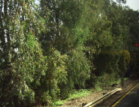
Above: On the way to Dan, we passed by this Israeli farm. That is an orchard just on the other side of the road. Right: We are quite close to the Lebanese border. The trees on the North side of the road were planted to hide vehicles from Hezbollah and their guns in Lebanon. |

|

|
Left and below: We started along a trail with views of the Dan River which is one of the three headwaters of the Jordan River. While walking a trail, we crossed many small tributaries that all come from the same spring action and join together to make the river. |

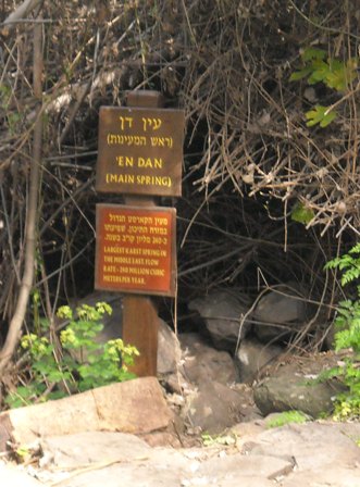
Above and right: The sign marks the spring that provides water to the Dan River. However the water comes out in several places, not just the small area by the sign. The sign notes that the spring yields about 240 million cubic meters per year which is roughly 173 million gallons per day. |

|

|

We continued on the path (often more overgrown than this one) until we reached the ruins of the shrine. |

These are the remains of the shrine. |

|

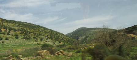
From this site, we could see into Lebanon and Syria. The border with Lebanon cuts through the villages shown on the right. |

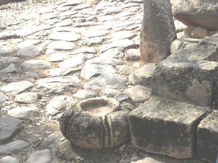
At the gate, there is a seat apparently used by kings. The "bowl" to the right of the bottom step is one of four that served as anchors for a canopy over the seat. |

This sign quotes 2 Kings 23:8 which tells how king Josiah broke down the shrines at the gates. |
Return to the main page Recommended
Previous Next
Copyright 2010 James and Danielle Brink. Permission is given for non-commercial use.
Last revision: 4/5/2010