Right: Another of their ferries is departing with a full load of school kids on a field trip.
Below: Panoramic view of Shepler's harbor.

| We sailed from St. Ignace (the north end of the bridge) on a Shepler's ferry.
Right: Another of their ferries is departing with a full load of school kids on a field trip. Below: Panoramic view of Shepler's harbor. |

|


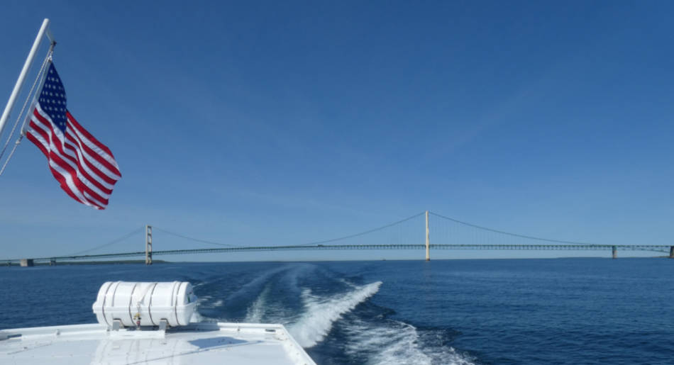
Our trip began by crossing back and forth under the bridge. Above: Approaching the bridge. Right: We just passed under the bridge. Below: Looking back at the bridge after we turned around and started heading to the island. |

|

|
While approaching the island we had a couple of interesting vessels.
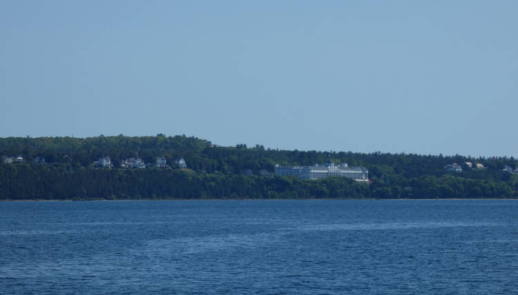
Above: We could see the island. Left: A freighter sailed through the straights. Below: Another company's ferry created a major roster tail. 
|
| As we got close to the island and the dock, we passed by this breakwater. It seemed unusual to me because there was 50 to 100 feet between the breakwater and the shore. (Unfortunately it is a little hard to see in this panasonic photo.) |

|

| This is the main street near the dock. There were a lot of shops appealing to tourists including several candy shops. You can see a couple o thef numerous horse drawn wagons parked on the far side of the street. The bearded man on the right is Phil. |
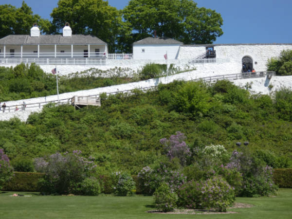
Just beyond the last of the shops, there is this little park. Many of the trees were
in blossom. That is Fort Mackinac on the hill in the background.

The fort's block house and more info on the fort. |
|
|
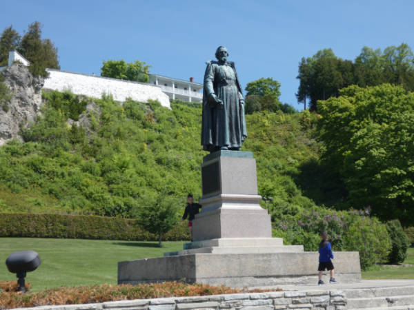
Some kids were playing on this statue in the park which depicts the French priest
credited with founding St. Ignace.
Below: The plaque on the statue. Click for a larger, readable view of the plaque. 
|
|
To the left of the statue is a replica of a missionary bark chapel.
Click for a large, partially readable photo of this sign. 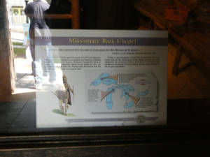
|

|

|
This is the block house - part of Fort Mackinac. The British first established a fort
at this location in 1780. But after that it changed hands between the British and
Americans a couple of times. The fort was destroyed by fire but was restored and
rededicated in 2015. For a front view of the fort, click here.
Below: The historical marker sign. Click for a larger, readable view of the sign. 
A info sign. Click for a larger, readable view of the sign. 
|
| This is a view from the bluff near the fort. |

|
|
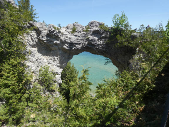
About 1/2 mile from the dock and fort is the Arch Rock setting near the south
end of the island's east coast.

Above: The view from the rock. |
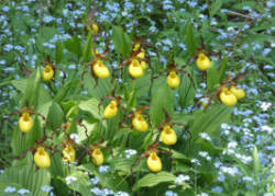
In early June, if one follows a north-north-east road from the Arch Rock one
comes on a number of beautiful wild flowers. Here are some of them. This one
is a trillium but we don't know what the others are called

|

|

|
|

|

|

|

|
|
While walking along this road, one often is passed by horse drawn carriages. This
one is a bigger one that uses 3 horses.
These horse drawn buses are all licensed vehicles. 
|

|

|
The road passes by Skull Cave.

Click for a larger view of the sign. |
|
We are completing the loop.
Below: The back side of Fort Mackanac comes into view. Right : Another view of the Straight of Mackanac. 
|

|

| Waiting on the dock for our ferry boat. |
 Eastern portion of the Upper Peninsula.
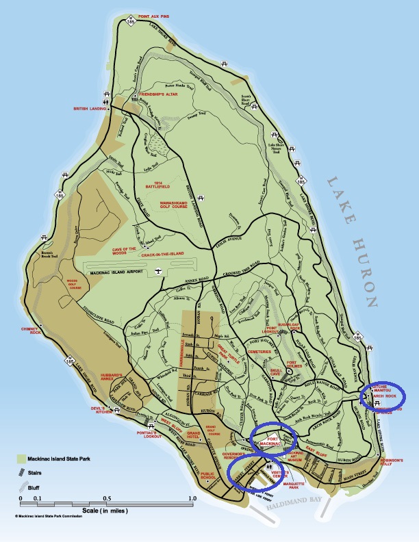 Mackinac Island